
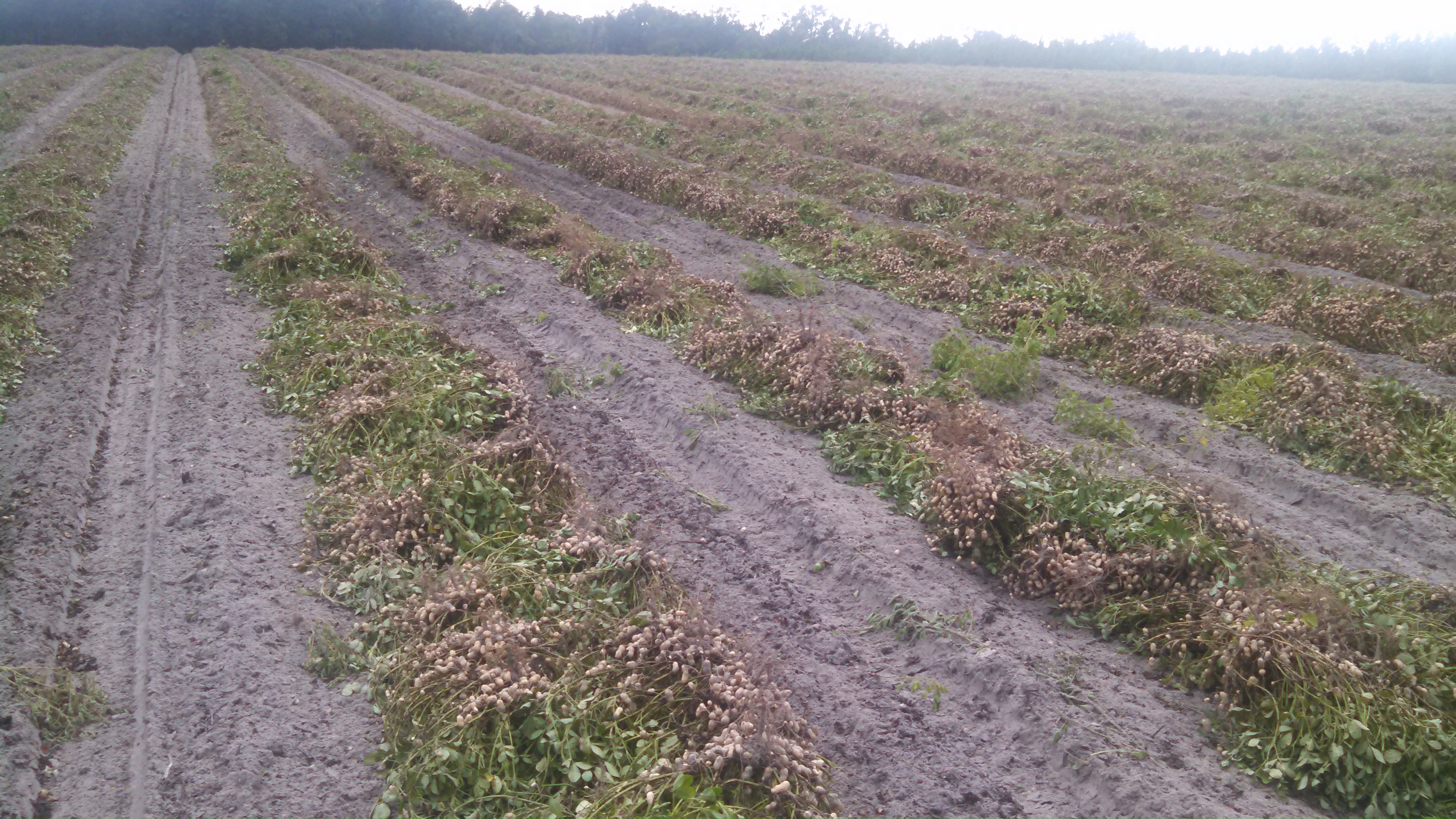
Freshly dug peanuts await sunnier days for harvest. We saw similar conditions September 2014. With rain 16 of 19 days from 8/30-9/17.
I was recently out with a peanut farmer struggling along with others in North Florida to harvest what has the potential to be a very good crop. Somewhat despaired by rainfall 7 of the last 9 days, he commented, “Is this El Niño?” This followed our previous conversations about being prepared for a high likelihood of above average precipitation and below average temperatures. However, I had to say that I don’t think the El Nino rainfall has started yet. We are just continuing our string of rainy summer weather, which has resulted in measurable rainfall 56 of the last 81 days here in Columbia County.
The Florida State Climatologist, Dr. David Zierden, has been keeping us up to date on what some are calling a “Super El Niño” for the coming winter. According to Dr. Zierden, El Niño refers to the appearance of unusually warm water along the equator from the coast of South America to the central Pacific that occurs every 2 to 7 years. Every El Niño differs in the timing of its evolution and the eventual strength, but this year’s El Niño has come on earlier and stronger than any recorded since 1950.
Major Shifts in Fall and Winter – While El Niño has already impacted summer patterns in the Southeast, more profound and predictable changes are on the horizon for the region as fall and winter approach. With the changing of the seasons, the jet streams over North America begin their yearly migration south and become more of a player in the passage of weather systems (like low pressure storms, cold fronts) from week to week. El Niño modifies the usual jet stream patterns and favors a strong subtropical jet that steers frequent winter storms, drenching rains, and cooler temperatures over the northern Gulf Coast and peninsula of Florida. The frequent rains usually commence around November and persist throughout the winter and into the month of March. However, the onset of the El Niño rains is hard to predict and can begin as early as the first week of October, as happened in 2009.
For the winter as a whole, Florida’s dry season will be impacted the most with expected rainfall totals nearly doubling normal. The northern Gulf coast, including Southern Alabama and Georgia, should see a more modest increase of 10%-30%, partly because normal winter rainfall is much greater than peninsular Florida. One common misconception, a “super” El Niño does not necessarily mean that much more rainfall than a moderate one, just a greater confidence the overall pattern will repeat. However, 1997/98 (November-March) did bring record rain totals to the Southeast and Florida in particular.
Agricultural Impacts Crop farmers in the Tri-State region can expect to (continue to) deal with frequent rainfall hampering harvest operations. Cotton, peanuts, and soybeans are some of the primary crops harvested in the fall of the year. Even more challenging is finding good weather windows to dry peanuts and defoliate cotton fields. September and October normally bring the driest weather of the year to this region, so it is imperative harvest progresses as quickly as possible during good weather windows before the expected rainfall from El Niño sets in later in October or November.
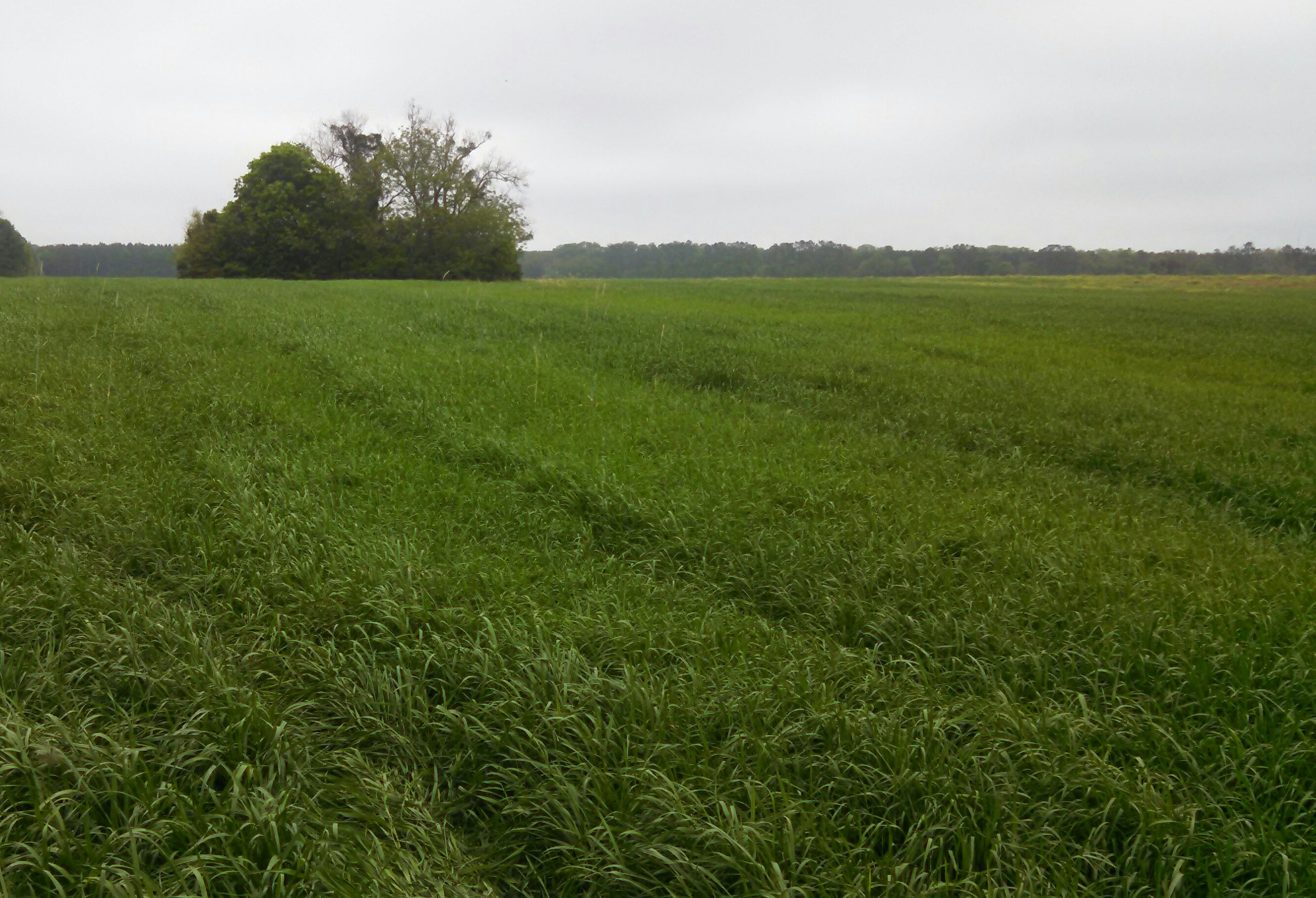
El Nino should bring adequate rainfall to establish winter annuals for haylage or grazing, such as annual ryegrass.
El Nino Conditions are often good for cattlemen, as adequate moisture exists for establishing rye or ryegrass for winter grazing. However prolonged mild temperatures may result in slow growth until spring when temperatures increase.
Thanks to Dr. David Zierden. A complete review of Super El Nino can be found HERE
Nicely done!
thanks for the post. I am worried because we have been short on the rainfall amounts this summer ‘here’ and to get my annual rain up to normal a wet fall is in order.